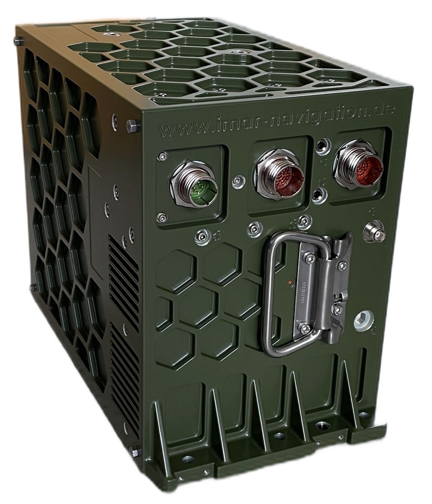
iNAT-M-II / -III / -IV: Highly Shock & Vibration hardened Navigation, Surveying & Control System (0.001 °/sqrt(hr); ITAR free)
Family of highly Shock and Vibration resistant precise Inertial/GNSS/VMS based Navigation Systems
iNAT-M-II…IV is product family of highly shock and vibration resistant precise Inertial Naviga-tion and Timing systems (iNAT).
It is used e.g. on heavy trucks, construction machineries or mining applications for true north indication (gyro compassing), navigation, localization and surveying and contains most robust ring laser gyros (RLG) and a special internal vibration and shock damping system, similar to those being used for military applications (so-called gun-fire hardened design). The iNAT-M-II/III/IV cover applications, which require highest accuracy and reliability under challenging environmental conditions, where fiber optical or vibrating gyros are not suitable.
It is available in three performance classes:
iNAT-M-II: 0.0016 deg/sqrt(hr) / 0.004 deg/hr / 0.05 mg
iNAT-M-III: 0.0025 deg/sqrt(hr) / 0.007 deg/hr / 0.75 mg
iNAT--M-IV: 0.0050 deg/sqrt(hr) / 0.010 deg/hr / 0.10 mg
They consist of 3 airborne grade ring laser gyro axes and 3 servo accelerometer axes, integrated GNSS Receiver (GPS, GLONASS, GALILEO, BEIDOU), wheel sensor interface and an advanced 42+ state Kalman filter based INS/GNSS loosly or tightly coupled data fusion.
The iNAT series is used for navigation, guidance and control of vehicles, stabilization of platforms, surveying reference as ground truth etc. in the fields of industrial, automotive, surveying, defense and space applications. The full accuracy range of the members of the iNAT family from economic to high-end can be found here:
Link to the entire iNAT system family
Features
- Applications: GNSS aided navigation, free inertial Navigation (air, land, sea, subsea), attitude heading reference (AHRS), surveying (LIDAR, SAR etc.), UAV, AUV and RPV guidance & control
- Real-time data output: longitude, latitude, alttude / height, velocty, roll, pitch, yaw / heading, angular rates, acceleration, status, calibrated raw data INS/GNSS (for post-processing)
- Interfaces: RS422 (UART and HDLC / SDLC) Interfaces, CANaero / ARINC825 / CAN, ARINC429, Ethernet (TCP/IP and UDP), SYNC-I/Os
- Data Output rate up to 400 Hz (each data log separately adjustable)
- Minimum latency and minimum jitter on output data
- Measurement range +/-395 deg/s, +/-20 g (option: +/- 40 g)
- Heading accuracy 0.01...0.1 deg sec lat (depending on performance class)
- further parameters. see datasheet (link below)
- Integrated 42+ state tightly or loosly coupled data fusion
- Internal GNSS engine, up to all-frequencies / all-constellations GPS+GLONASS+GALILEO+BEIDOU, RTK, L-Band
- Internally up to 128 GByte non-volatile memory for data storage
- Power Supply: 10...36 V DC, < 28 W; overvoltage protected up to 60 V; 50 ms hold-up time according to DO160E.
- Modular System architecture: customized applications can be integrated by iMAR easily (please contact our sales engineers for details). So the iNAT can provide arbitrary data and command protocols according to customer requirement, e.g. to substitute other navigation systems by iNAT (e.g. for Form-Fit-Function replacements)
- EMI-EMC protection and qualification according to DO160E / MIL-STD-704D / MIL-STD-461E / MIL-STD-810G
- iNAT-M-II/-III/-IV is not ITAR controlled. It can be operated in most countries worldwide and only a standard dual-use export license is required; no detailed export control required within the EU, Canada, Japan, New Zealand, USA (only EU001 procedure required)
Weitere Informationen
Im Download-Bereich findet man Handbücher, Berichte von Anwendern und weitere Informationen.


