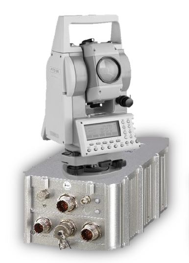
Providing Navigation and Azimuth / Elevation with integrated Theodolite
iNAPAD is a high precise system for Navigation, Positioning and Azimuth Determination. It can be applied in any kind of vehicles, used by mobile survey teams in military environment.
The main tasks of such survey teams is the determination of position in operational areas as well as the orientation and alignment of weapon systems upon deployment.
iNAPAD provides these features using state of the art technologies.
iNAPAD is not affected by any ITAR regulations.
Further information: