iATTHEMO/TLx / iATTHEMO-M: Economic True Heading, Attitude, Position, Velocity Sensor for Ride Control and Stabilization for Fast Ferries and Naval Vessels
INS/GNSS Motion Sensor with Dual-Antenna True North Heading for Marine and Naval Vessel Stabilization and Ride Control
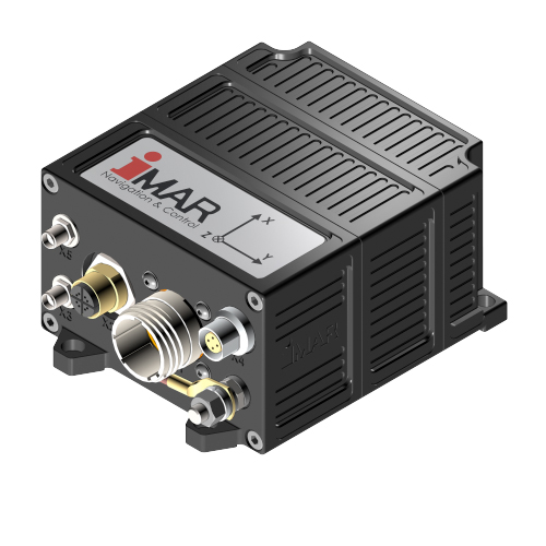
iATTHEMO/TLx
iATTHEMO/TLx, also called Motion Reference Unit (MRU), is a powerful miniaturized dual-antenna GNSS compass systems with an integrated MEMS based inertial measurement system to provide true heading as well as attitude, velocity, position, angular rates and acceleration with low noise. It outputs the required control data for the ship's actuators to provide an unmatched ship motion control, stabilization and ride control.
iATTHEMO/TLx is made for applications which require most reliable performance and highest availability in a robust package and easy usage. The system comes with fully EMI/EMC protected power-supply input and data output interfaces. The internal extended Kalman filter based data fusion is able also to provide a full INS/GNSS navigation solution with integrated incremental counter interface as propellor counter or UART / CAN / Ethernet (TCP/IP, UDP) as DVL / Log interface.
UART, CAN and Ethernet interfaces are provided to control the actuators (fins, thrusters, ruder etc.) in real-time.
Members of the system family iATTHEMO/TLx are also known under the trademark iATTHEMO-M for specific marine applicatons.
In the name iATTHEMO/TLx the x stands for a family of inertial MEMS based sensors, ranging from economic performance to professional performance.
iATTHEMO/TLx comes with full iXCOM protocol communication support as well as NMEA 0183 output and is supported by iMAR's iXCOM-CMD GUI for configuration, visualization and operation. Furthermore a SDK is available for a seamless integration process at customer site.
Features of iATTHEMO/TLx and its precessor iATTHEMO-M:
- True Heading with up to unmatched 500 Hz data rate due to gyro aided Dual-Antenna GNSS, using multi-frequency / multi-constellation GNSS (RTK capability available)
- Roll, pitch, WGS84 position & velocity, rates and acceleration with up to 500 Hz; any other reference system adjustable; accuracy depending on seleced device:
0.005...0.1 deg RMS. - UART RS422 and RS232, Ethernet (TCP/IP and UDP), CAN and USB interface; iXCOM protocol and NMEA 0183 protocol available
- Capability for direct control of the ship's actuators (fins, thrusters, rudder etc.) for roll compensation and ride control tasks
- PPS output for synchronization available
- Odometer and magnetometer interface as option
- Navigation, Guidance and Control, AHRS capability; 42+ state integrated Kalman filter based IMS/GNSS data fusion
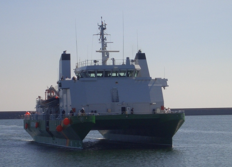
- Used in naval and marine applications on manned and unmanned vessels, sea and subsea
- Heave output available; accuracy depending on selected device: 1...5 % / 1...5 cm (whichever is greater) - verified with real world data and on our in-house hexapod testing facilities.
- RTK Position accuracy and operating additionally GLONASS, GALILEO and BEIDOU signals available
- IP68 environmental protection; as an option available within a deep-sea enclosure
- Powerful iXCOM-CMD GUI software for easy installation (incl. installation wizard)
- Available versions:
iATTHEMO/TLE (low noise)
iATTHEMO/TLN (vibration hardened)
iATTHEMO-M - replaced by its successor iATTHEMO/TLE with even better performance - With the same data interface this system is compatible to iATTHEMO-TRIDENT (gyro compassing system) and all systems of iNAT family (from low-end economic to highest performance, i.e. from micro-MEMS over fiber optical gyro up to ring laser gyro and hemisperical resonator gyro technology based systems)
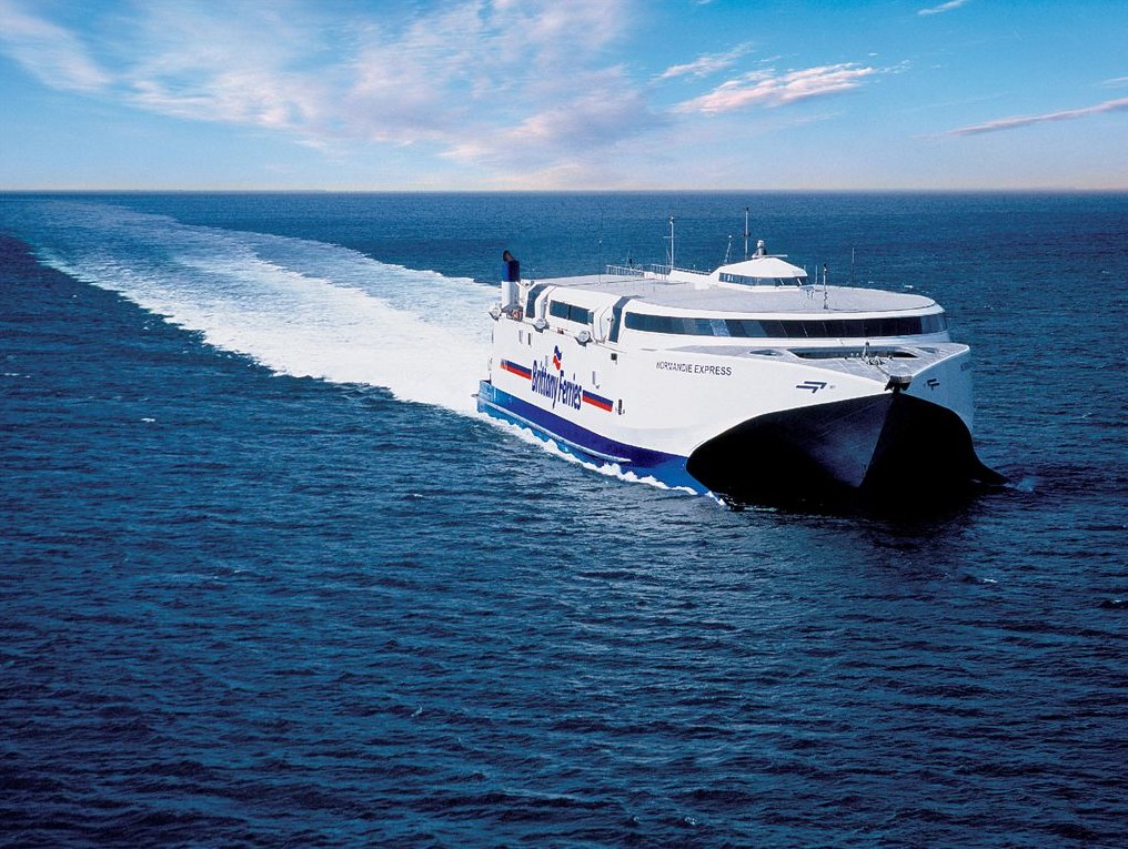
- In 24/7 operation for many years on many ships like fast ferres all around the world
Note:
In compliance with our proven design philosophy and our technical code of conduct for development, production, and quality assurance of our products and solutions, only physics determines the behavior of iMAR’s measurement systems. The real-time output of our systems and solutions in the inertial signal path is achieved through the intelligent signal processing developed by our experienced engineers – not by artificial intelligence (AI).
Why?
We cannot recommend that integrators or users entrust the success of critical or general missions in inertial navigation, stabilization or control to the heuristic decisions of AI.
Rely on the high reliability, accuracy, and availability of iMAR solutions, as well as on the leading INS/GNSS/+ expertise and experience of our engineering team in Germany. This is based on our mathematically and physically precise algorithms, traceable results, our sensor, hardware, and algorithm design, and our production facilities, which are certified to military and aviation standards.
Note: We apply AI methods in signal processing where they provide benefits for the application (e.g., for improving image or scenario analysis). However, our highest priority is mission safety – even in so-called corner cases of applications, where AI is typically not sufficiently trained.
Providers of devices for similar operation areas: Kongsberg (TM), Norwegian Subsea (TM)