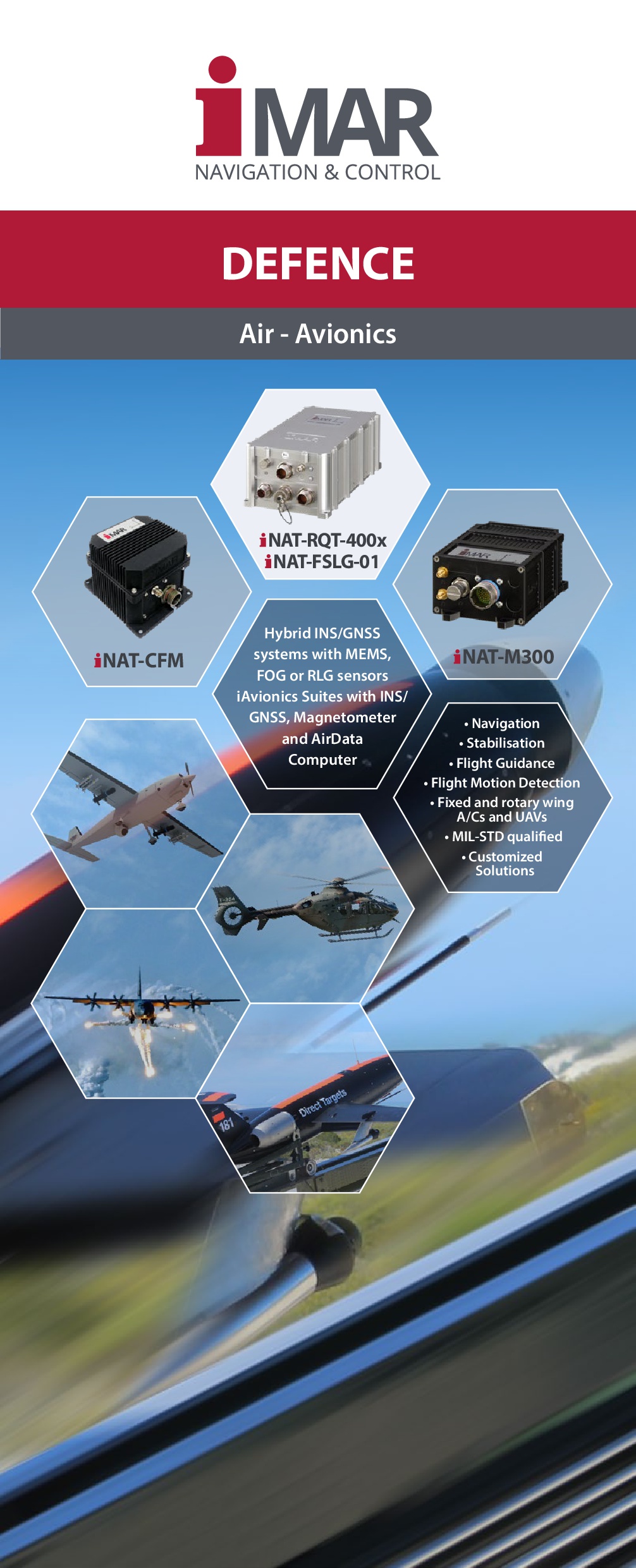
Inertial Solutions for Airborne Applications


Inertial Solutions for Airborne Applications
iMAR Inertial Solutions and Systems for Airborne Applications:
- Surveying (with INS/GNSS systems of all classes of accuracy, MEMS, FOG, HRG, RLG)
- UAV Navigation and Control
- Defence
- Air Vehicle Video Target Tracking
- Airborne Gravimetry
- Gyro Stabilization of standard EOIR paylaods and customer specific payloads
- INS/GNSS based reference systems for aircraft testing
- Customized solutions for airborne surveying, monitoring and stabilization tasks
- Solutions for space & research
- many others
iMAR is cetified as an avionics maufacturer according to EASA Part 21G. Our quality management system certification according to EN 9100 enables us to provide designs and products for military, idustrial and commercial aviation solutions.
Further information
-
Equipment for Aircraft Testing (INS/GNSS)
-
Aerial Surveying Systems and Solutions
-
iMAR's leading inertial products & solutions for advanced applications in navigation, localization, guidance & control
-
Reference Systems for Aircrafts and UAVs
-
Avionics and Surveying Systems
-
Airborne Strapdown Gravimeters
-
Brochure: iMAR Navigation - Products and Services
-
What you should know: Short introduction into inertial measuring technology
-
Easy-to-Use: iMARs Tools including ROS 2 node, Python client, WireShark Dissector and SDK for C++

